
Adventures
- Art, History & Culture
- ATV & Motorsports
- Birding & Wildlife
- Clamming
- Crabbing
- Cycling
- Entertainment and Nightlife
- Fishing
- Fishing by Style
- Forest Bathing & Mindfulness
- Gaming
- Golfing
- Hiking & Walking
- Lighthouses
- Ocean Life & Tidepooling
- Our Complete Guide to Forest Bathing
- Running
- Scenic Drives
- Shopping
- State Parks and National Lands
- Storm Watching
- Theatres
- Undeveloped Beaches
- Untamed Dunes
- Water Recreation
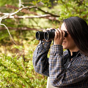
Birding & Wildlife
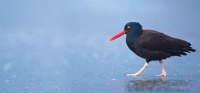
EXCELLENT BIRDING OPPORTUNITIES
Rugged and largely undeveloped, Oregon’s south coast lures birders to view wildlife seldom encountered. The Oregon Islands National Wildlife Refuge is protected habitat for 1.2 million nesting seabirds.
The South Slough National Estuarine Research Reserve near Charleston, with its 5,000 acres of saltwater marshes and mixed conifer forest, attracts Band-tailed Pigeons and Wrentits.
The Millacoma Marsh trail, on the Eastside of the Bay, meanders through fresh and saltwater marshes with great opportunities to view wildlife. Shorebirds, waterfowl, and raptors are commonly seen from the trail. Evidence of raccoon, black tailed deer, beaver, bats, and moles can be found by the curious and watchful.
In April and August, Bandon Marsh National Wildlife Refuge attracts rare shorebirds and is a feeding and resting stopover for migrating Pacific Golden-Plover, Dunlin, and Whimbrel.

SEE OUR SEALS ON YOUR VISIT
The Simpson Reef Interpretive Stop: On Charleston’s Cape Arago Highway Loop, enjoy excellent views of Oregon’s largest haul-out of seals and sea lions.
Shell Island: Part of the Oregon Islands National Wildlife Refuge, Shell Island offers viewing of Northern Elephant Seals, Harbor Seals, and Stellar Sea Lions. California Sea Lions take over Cape Arago every fall. Shell Island can be seen from the Simpson Reef Interpretive Stop or the North Trail of Cape Arago State Park.
Simpson Beach: Directly below Shore Acres State Park, a path leads to a secluded cove that provides a safe space for some seals and sea lions to sun on the beach. If you see these specimens on the beach, please do not approach them but view them from a distance.
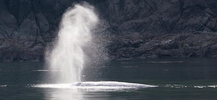
A WHALE OF A TIME FOR EVERYONE
Each Winter and Spring, visitors flock to see gray whales migrate between Mexico and the Bering Sea. Shore Acres and Cape Arago State parks offer some of the coast’s best whale-watching.